Soil Surveys, Environmental Assessment & Land Management
Land Research - Case Study
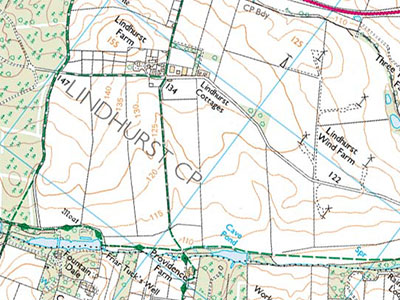
Proposed bypass route and Rainworth SSSI
Nottinghamshire County Council initiated public consultation on four alternative routes for the A617 Rainworth bypass. A northerly route emerged as the favoured option, but objectors proposed an alternative southerly route that would pass close to the Rainworth Lakes Site of Special Scientific Interest (SSSI) – a base poor marsh and open water habitat containing rare wetland plant communities. Identified risks to the SSSI included changed groundwater levels and increases in the base status of the marsh soils and watercourses (Rainworth Water and Foulevil Brook) that fed them. LRA was retained by the Council to assess the likelihood that the southern route could increase these risks.
The study included:
- A desk study of published and unpublished information on geology, hydrogeology and hydrology obtained from the British Geological Survey and Environment Agency
- Consideration of other impacts such as licensed abstractions and eutrification from nearby agricultural use
- Site investigation of surrounding soil hydrology and the flows into the lakes
Our study showed that the hydrology of the site was already compromised, as lowering of groundwater by abstraction on surrounding land had reduced the base flows of the watercourses that drain into the SSSI. Flows appeared to be largely dependent on two springs, one of which would be built over by the southern bypass route.
It was identified that the earth-moving phase of road construction posed a significant risk of base-rich sediment entering Rainworth Water and Foulevil Brook, and that drainage from the completed road would be likely to further reduce lake water quality.
The preferred northern route for the bypass was approved and opened two years later.
For further information on how we can help you with similar studies contact us on +44 (0)1509 670570 or email mike.palmer@lra.co.uk