Land Research - Case Study
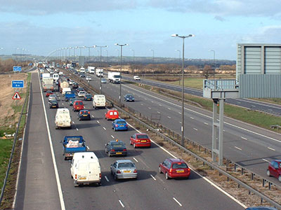
M1 widening, junctions 21-25 & 28-30
Working with Arup on behalf of the Highways Agency, LRA was asked to undertake land use, soil and agricultural studies alongside the M1 motorway where it passes through Leicestershire and Derbyshire, assess the impacts on soils and land use and propose mitigation measures to the requirements of the Design Manual for Roads and Bridges No 11.
A desk study of soils along the route was supplemented by a soil survey alongside the motorway at 200 m intervals, but at closer intervals in areas where the footprint of the widening scheme was likely to be larger such as between Junctions 23a and 24 and along the proposed route of an associated A6 bypass for Kegworth. The survey was also interpreted to produce maps of agricultural land quality along the route. The results of this work were incorporated into the Geology and Soils chapter of the Environmental Statement.

An associated land use study was undertaken within a 250 m buffer of the existing motorway and provided the baseline information for the Land Use chapter of the Environmental Statement and enabled assessment of the potential impacts of the widening plans on agricultural operations. Mitigation measures were proposed for the future use of fields that might be reduced to a size or shape that would render them unsuitable for future agricultural use.
